Log in
All resources
Create a design
9,296 Free Artworks of Map Collection
bibliothèque nationale de france
tresor des cartes geographiques (1659)
paper
british museum
german renaissance,northern renaissance
geographia universalis (1545) in the british museum
island of california
ptolemy
maps from gallica
maps of paris from bibliothèque nationale de france
maps in the national library of australia
map of paris by claes jansz. visscher
atlas - voyage pittoresque à l'île-de-france, au cap de bonne-espérance et à l'île de ténériffe (1812) by milbert
maps from the mechanical curator collection
atlas - voyage pittoresque à l'île-de-france, au cap de bonne-espérance et à l'île de ténériffe (1812) by milbert
maps from the mechanical curator collection
bibliothèque nationale de france
maps by thomas kitchin
maps of portugal by fernando álvares seco
theatrum orbis terrarum (1606 folger)
theatrum orbis terrarum (1606 folger)
maps of wales by humphrey llwyd
maps of paris from bibliothèque nationale de france
plan de roussel
maps by hendrik hondius the younger
old maps of overijssel
old maps of atlantis
island of california
prints from manesson travaux de mars at the peace palace library
old maps of brest from musée de bretagne
accademia delle scienze di torino - fondo millon
media from accademia delle scienze di torino
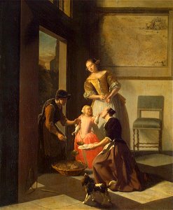
17th-century paintings in the hermitage
jacob ochtervelt
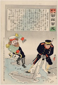
japanese fine prints, pre-1915
ukiyo-e
bibliothèque nationale de france
guillaume sanson
maps in the stadsarchief amsterdam
hendrik de leth
maps in the stadsarchief amsterdam
hendrik de leth
german renaissance,northern renaissance
ptolemy's 1st asian map
geographia universalis (1545) in the british museum
german renaissance,northern renaissance
geographia universalis (1545) in the british museum
german renaissance,northern renaissance
geographia universalis (1545) in the british museum
german renaissance,northern renaissance
maps of ancient israel by philippe de la rué
old maps of ancient israel
geographia universalis (1545) in the british museum
german renaissance,northern renaissance
geographia universalis (1545) in the british museum
german renaissance,northern renaissance
geographia universalis (1545) in the british museum
german renaissance,northern renaissance
geographia universalis (1545) in the british museum
german renaissance,northern renaissance
a plan of the operations of the king's army under the command of general sr. william howe, k.b. in new york and east new jersey, against the american forces commanded by general washington, from the 12th. of october, to the 28th. of november 1776
iona island (new york)
civitates orbis terrarum. urbium praecipuarum totius mundi. liber quartus
maps of malmö by braun & hogenberg
civitates orbis terrarum. urbium praecipuarum totius mundi. liber quartus
maps of lund by braun & hogenberg
broadsheet prints from koninklijke bibliotheek - maps
broadsheet prints from koninklijke bibliotheek
geographia universalis (1545) in the british museum
german renaissance,northern renaissance
maps by pieter van der keere
old maps of friesland
theatri praecipvarvm totivs mvndi vrbivm : liber sextvs (1618)
maps of poznań by braun & hogenberg
mountains and lakes in cumberland and westmoreland (1808)
maps in the british museum
atlas vingboons
1665
maps of ancient italy by philipp clüver
maps of samnium
theatri praecipvarvm totivs mvndi vrbivm : liber sextvs (1618)
maps of biecz by braun & hogenberg
mountains and lakes in cumberland and westmoreland (1808)
maps in the british museum
maps from gallica
old maps of rome
maps of the peloponnese by gerardus mercator
1640s maps of greece
old maps of bourbonnais
1660s maps of france
17th-century maps of savoie
old maps of savoie
17th-century maps of the netherlands
maps by pieter van der keere
old maps of antikythera
old maps of kythira
old maps of the shetland islands
old maps of the orkney islands
maps by hendrik hondius the younger
1632 maps of africa
theatri praecipvarvm totivs mvndi vrbivm : liber sextvs (1618)
maps of čáslav by braun & hogenberg
theatri praecipvarvm totivs mvndi vrbivm : liber sextvs (1618)
maps of eisenstadt by braun & hogenberg
maps by thomas starling
1842 maps
maps of blois by braun & hogenberg
urbanisation in loir-et-cher
maps of the islands of greece by marco boschini (1658)
old maps of lesbos
theatri praecipvarvm totivs mvndi vrbivm : liber sextvs (1618)
maps of dillenburg by braun & hogenberg
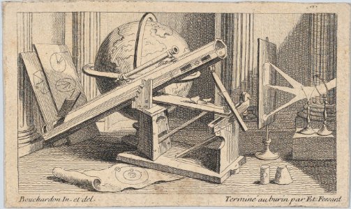
etienne fessard
rococo
notatki myśliwskie z afryki : somali (1897)
1890s maps of somalia
maps from gallica
guides joanne
sanson maps of north america
1690s maps of north america
1677 maps of north america
island of california
sanson maps of north america
island of california
sanson maps of north america
island of california
sanson maps of north america
island of california
maps from gallica
old maps of rouen
eran laor cartographic collection
claes jansz. visscher (ii)
eran laor cartographic collection
romeyn de hooghe
17th-century maps of the americas
maps by gerard valck
1628 maps of germany
maps from gallica
old maps of finistère
maps from gallica
claes jansz. visscher (ii)
atlas van stolk
1800s maps of the caribbean
charles picquet
david rumsey historical map collection
old maps of the holy roman empire
sardinia (galleria delle carte geografiche)
frescos in the vatican museums
old maps of the strait of gibraltar
hendrik de leth
françois de la pointe
maps of barbary coast
maps published by hendrik de leth
algiers in the 18th century
carte figurative de l'instruction populaire de la france
maps from gallica
tresor des cartes geographiques (1659)
1650s maps of the ottoman empire
17th-century maps of the malay archipelago
tresor des cartes geographiques (1659)
maps of candia by ortelius and mercator
tresor des cartes geographiques (1659)
tresor des cartes geographiques (1659)
17th-century celestial maps
tresor des cartes geographiques (1659)
maps of guinea by mercator-hondius
tresor des cartes geographiques (1659)
17th-century maps of morocco
tresor des cartes geographiques (1659)
old maps of the whole peloponnese
tresor des cartes geographiques (1659)
1650s maps of the iberian peninsula
tresor des cartes geographiques (1659)
17th-century maps of scandinavia
tresor des cartes geographiques (1659)
17th-century maps of morocco
tresor des cartes geographiques (1659)
17th-century maps of the arctic
maps of barbary coast by mercator-hondius
tresor des cartes geographiques (1659)
maps of prague by braun & hogenberg
maps of cheb by braun & hogenberg
tresor des cartes geographiques (1659)
maps of cyprus by mercator-hondius
tresor des cartes geographiques (1659)
17th-century maps of the british isles
bibliothèque nationale de france
guillaume sanson
1667 sanson map of africa
1667 maps of africa
tresor des cartes geographiques (1659)
1650s maps of the holy roman empire
maps of barbary coast by mercator-hondius
tresor des cartes geographiques (1659)
maps of paris from bibliothèque nationale de france
baroque
maps of paris from bibliothèque nationale de france
baroque
lutetia parisiorum urbs, toto orbe celeberrima notissimaque caput regni franciæ by sebastian münster
maps of paris from bibliothèque nationale de france
maps of paris from bibliothèque nationale de france
baroque
lutetia parisiorum urbs, toto orbe celeberrima notissimaque caput regni franciæ by sebastian münster
maps of paris from bibliothèque nationale de france
17th-century maps of the americas
maps by jodocus hondius
british library - off the map alice collection - wonderland
british library - off the map alice collection
james reynolds (publisher)
john emslie
4101 - 4200 of 9,296
Next page
/ 93